| Distance : 4.4km | |
| Toilets : Town Hall Car Park | |
| Start/End : Sandwich Train Station | |
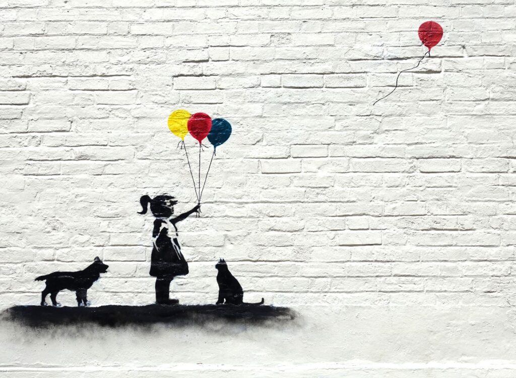
| Hidden gem : Banksy Style Graffiti | |
| Must see :Sandwich Medieval Centre | |
Walking map
Intro
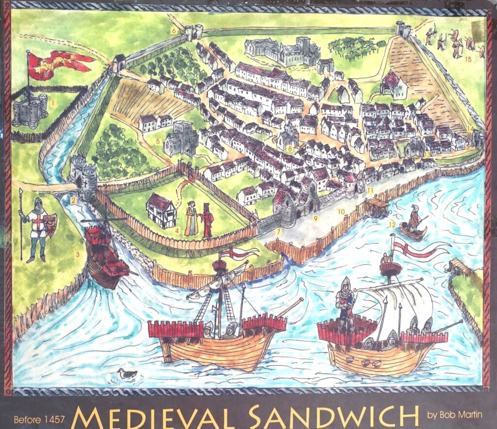
Yes, this is where the most popular English lunch “Sandwich” got its name from. The story goes that the Earl of Sandwich was too busy at the gambling table to have his meal, so he ordered sliced bread with ham and his guests followed, ordered “the same as Sandwich”, hence the “sandwich” was born. (Though the family of Earls of Sandwich has no real connection to the town itself, only the title.) The place name actually means “market town on sandy soil”. It was one of the cinque ports, which played a significant role in medieval trading. There used to be a Channel called Wantsum separating the Isle of Thanet from Northeast Kent.
Walking routes
Join the Ropewalk on the left
Ropewalk
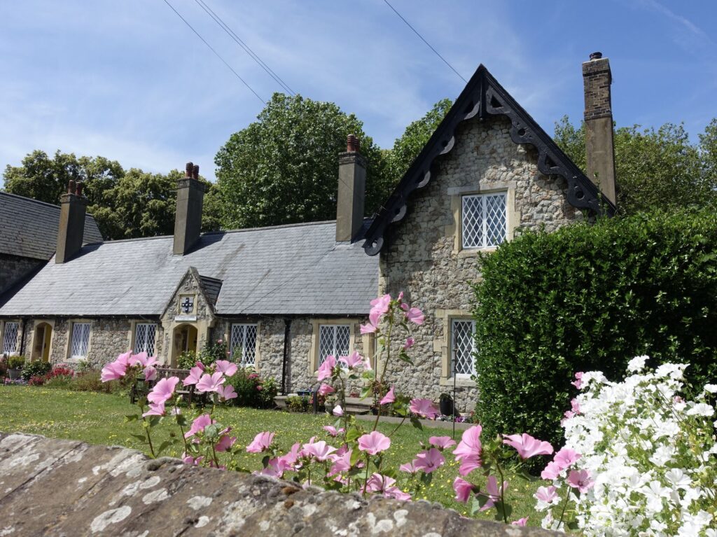
St Thomas Hospital
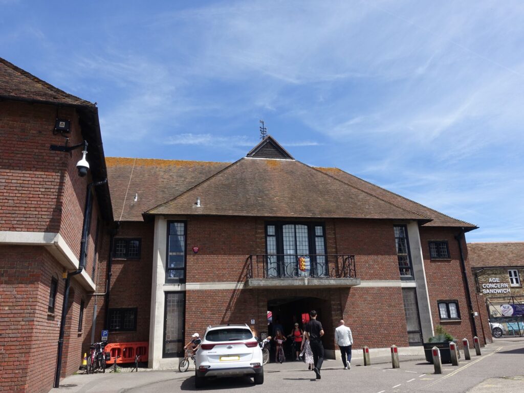
Go through the building
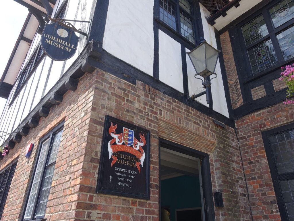
Sandwich Guildhall Museum
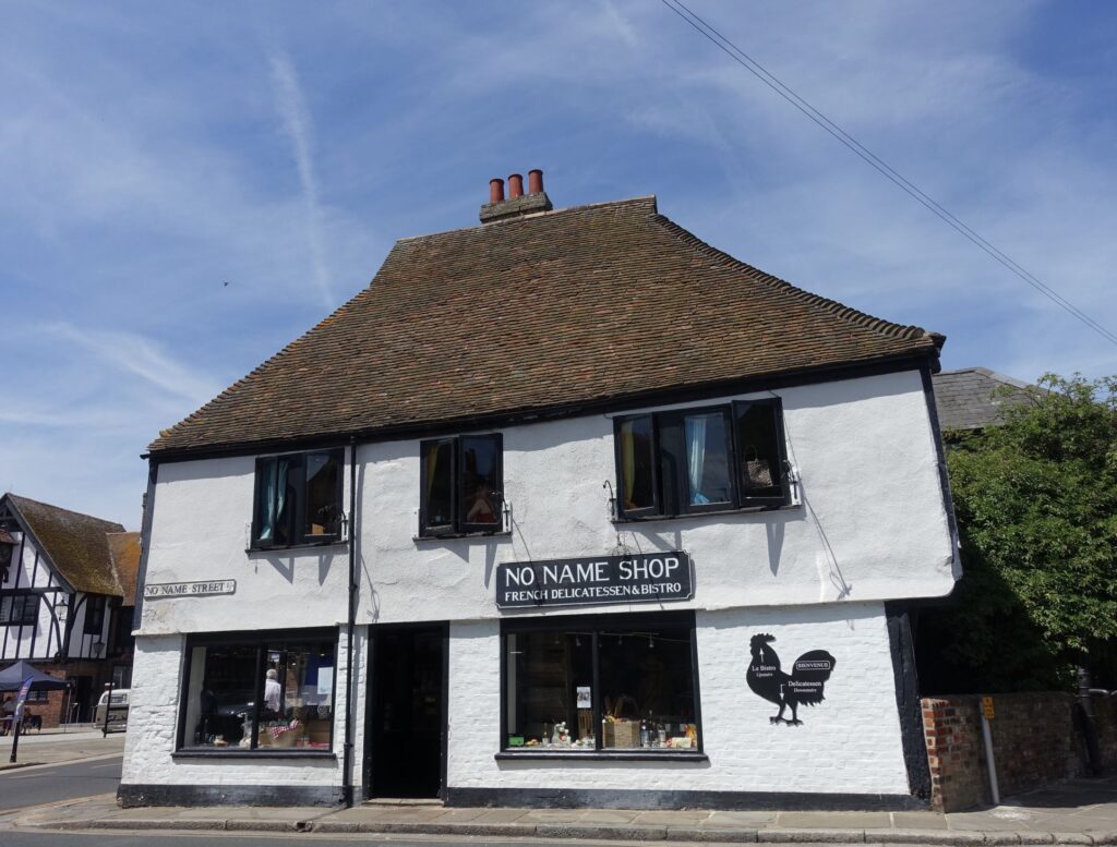
No name shop
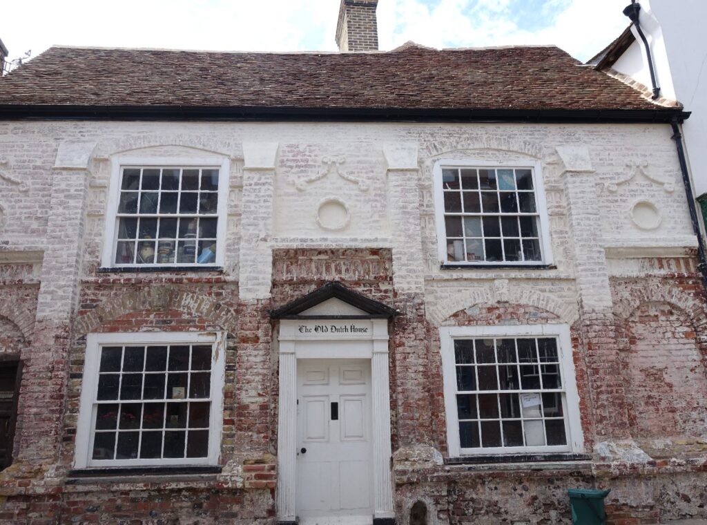
The Old Dutch House
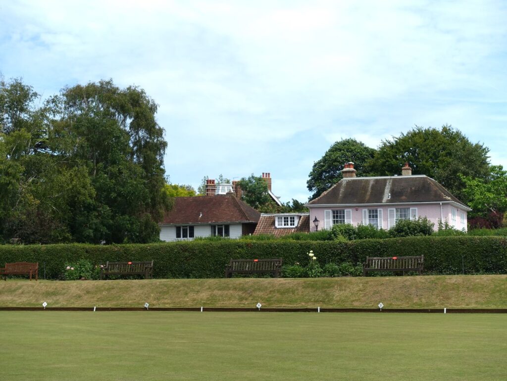
Sandwich Bowling Ground
The Bulwark
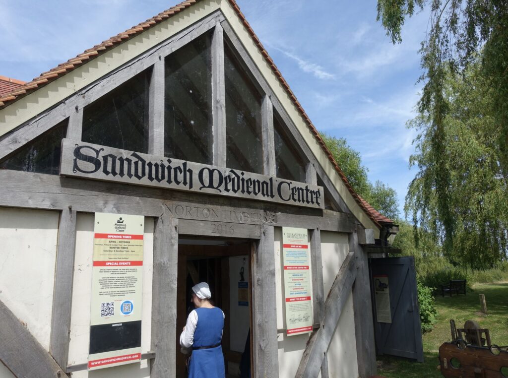
Sandwich Medieval Centre
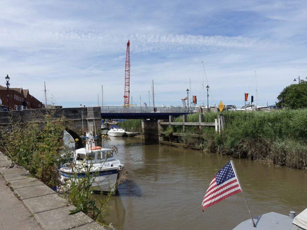
The Toll Bridge
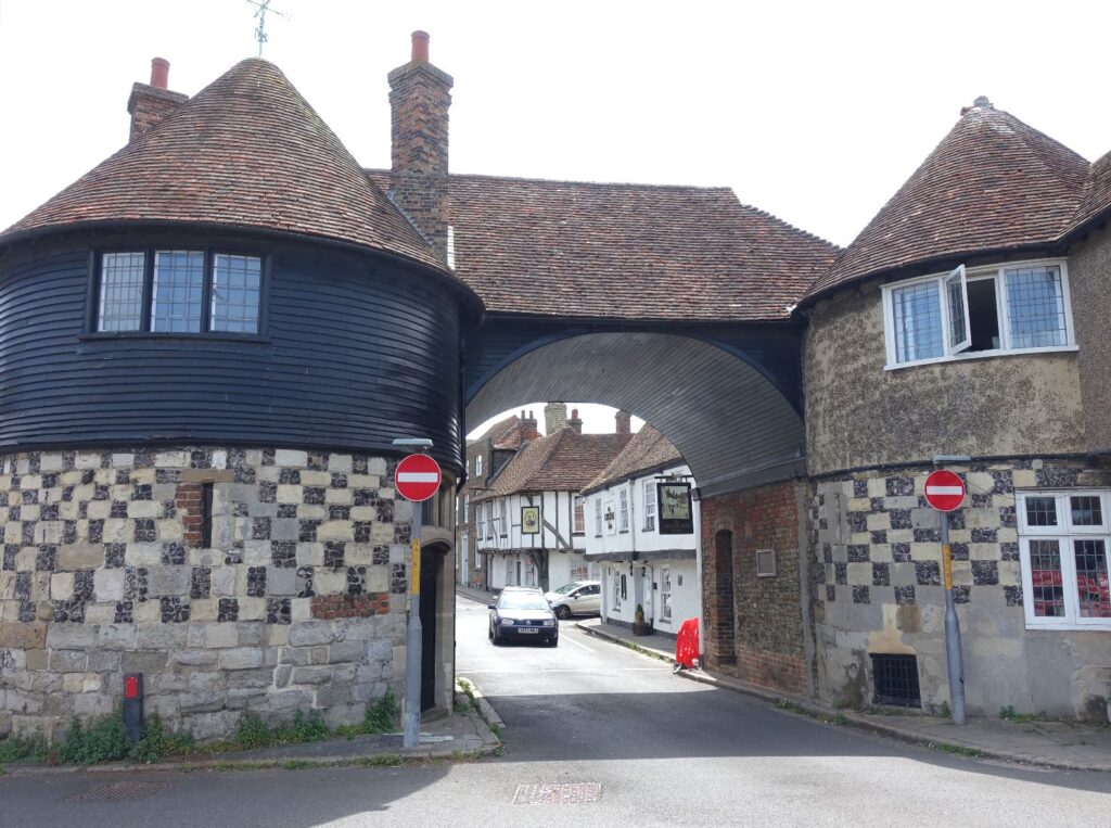
Barbican gate
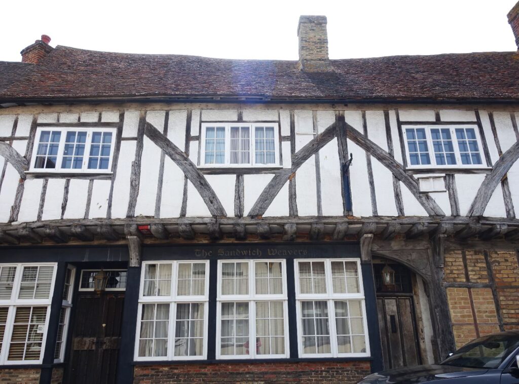
Weavers’ House
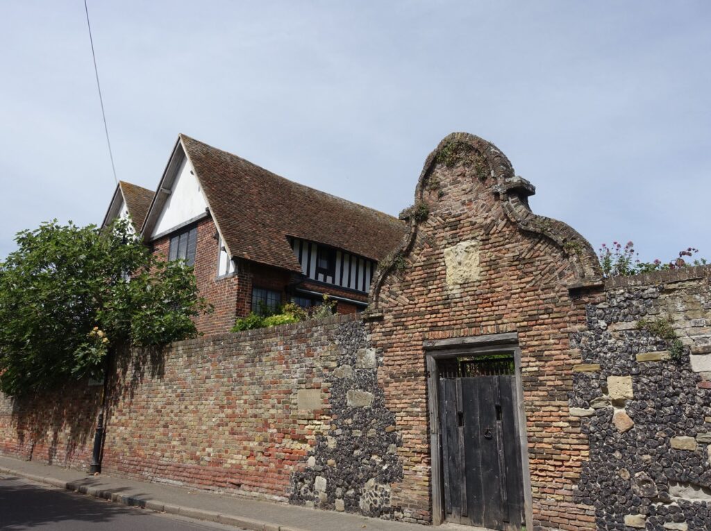
King’s House
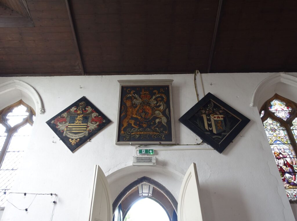
St Mary’s Church
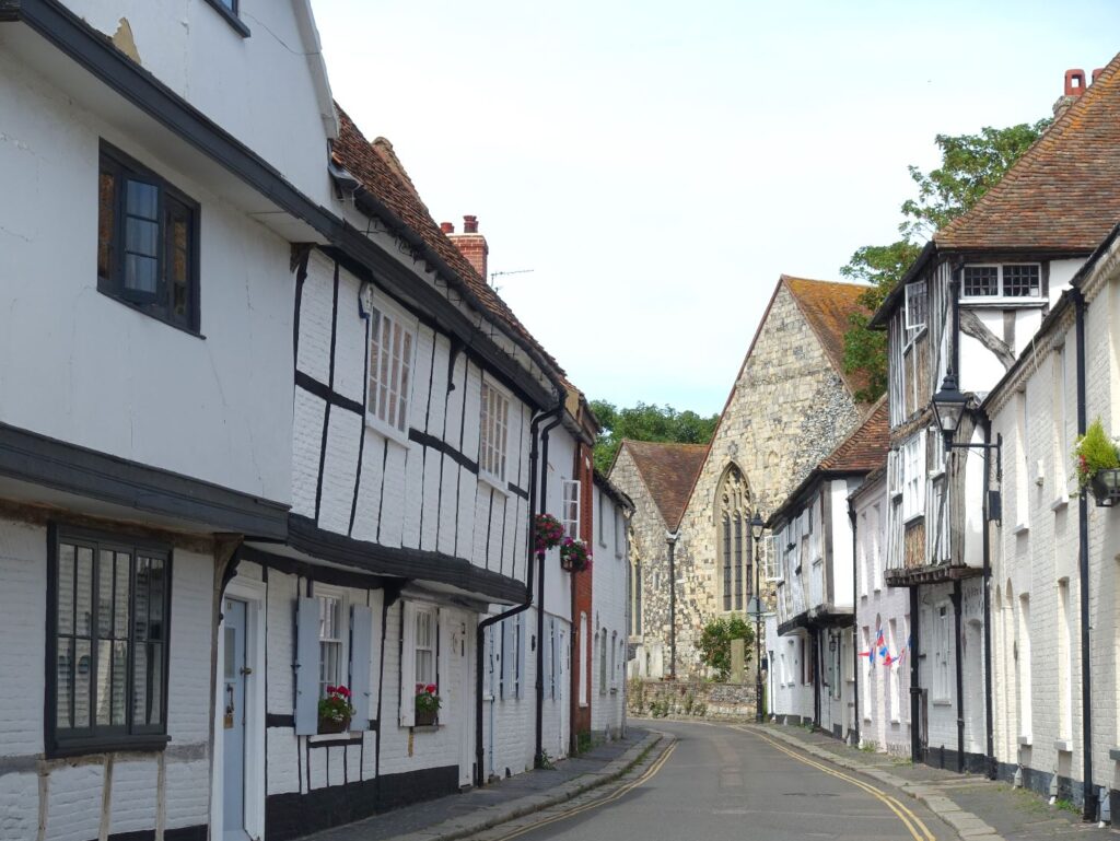
Church Street
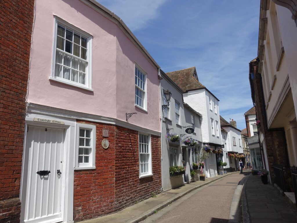
Potter Street
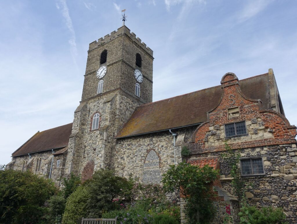
St Peter’s Church
Maybe Banksy?
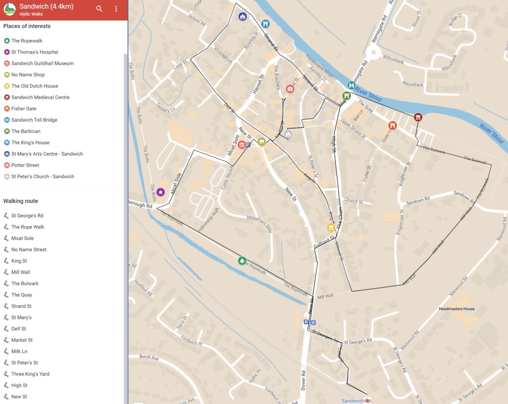
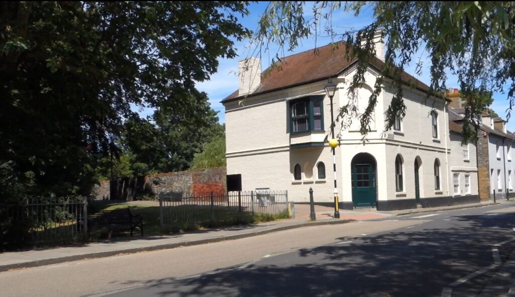
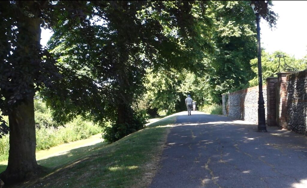
Exit station on the ticket hall side. The station building is unremarkable. Follow the car route into the residential area and onto St George’s Road. Turn right on New Street, shortly you will see a tree-lined footpath intersecting the street. Cross the street, join the Ropewalk side of the footpath. It’s a very pleasant footpath on raised ground—the old town wall, with tree canopy and sloping lawns with the waterway below.
The Ropewalk is dead straight. It was used to make ropes for ships, which required a long, straight stretch for ‘walking-out’, where the strands of the rope could be braided and made taut.
At the end of the rope walk you will see a row of stone houses. It was the St Thomas Hospital. Named in the honour of St Thomas Becket, who was Archbishop of Canterbury from 1162 until his death in 1170. He was murdered by followers of the King in the conflict over church rights and privileges. Pope Alexander III canonised him. It’s called hospital but was founded to accommodate medieval pilgrims on their way to Canterbury.
Follow Moat Sole, you will soon see a car park with a public toilet on your right. Sole means low-lying ground, ‘Moat’ probably comes from “William Moat’s barn” which stood near this spot.
On the edge of the car park, there’s a sign pointing to the left-hand corner saying Guildhall. Follow the sign, go through the building with the cinque port sign. You are now in the town square where festivals and markets are held in the town square. On your left is the guildhall and town council office. The museum is free to enter. It has a small exhibition about the history of Sandwich and the influence of Huguenots and Flemish settlers. In the sixteenth century, Sandwich housed more so-called “strangers” than native English.
Opposite Town Square is the No Name Street with the quirky No Name Shop, a Deli on the ground floor, and a Bistro on the upper floor. A good place to sort out your lunch.
Then turn right onto King Street. When I visited on 29June2024, King Street was closed to traffic with “Sandwich in Bloom” in full swing. Shops have barrows of flowers at the front, which made me want to stop for photos every few seconds. Towards the end of King Street on your right, you will see the Old Dutch House next to Rose Garage. It needs a bit of love and paint, but you can still see the distinctive features standing out from the rest of the houses.
I was lured by the quiet cul-dec-sac and a few more interesting houses, so I continued straight onto Millwall Place, which was a good choice. It led to the Bowling ground and Mill Wall.
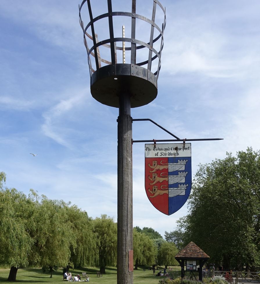
Onto the Mill Wall turn left. The footpath will cross a street, ignore the footpath sign, keep on the same side of the ditch. Where the road is now used to stand one of the town gates to Sandwich as the Mill Wall and Bulwark (the next section of the footpath) used to be the town wall. The Bulwark then bends left, and soon you will see the Quay, the millennium beacon and The Medieval Centre.
The Medieval Centre is worth a visit. Volunteers are dressed in medieval clothes and run workshops about medieval crafts. On my visit, a couple was learning how to weave with reed straws.
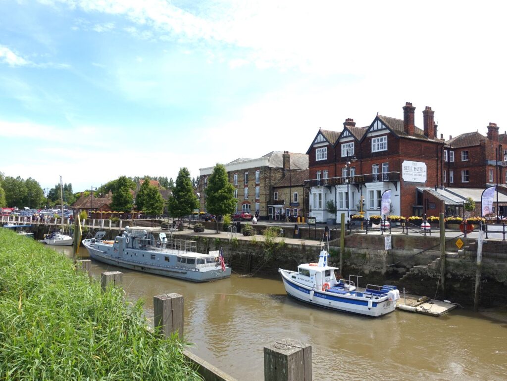
Walk along the river path, you will have a good view of the toll bridge and a naval patrol boat with an American flag on it. (Don’t ask me why there’s a war ship in such a peaceful setting. It’s apparently a working USN P22 Patrol boat built during the cold war. I wasn’t interested, so didn’t pay much attention. You can find out more on their website. On the other side, you can see a stone archway, which is the Fisher Gate. It was the main gateway from the town to Sandwich quay. Imagine in the medieval time, Kentish wool would be carried by horses through the gate and shipped to Flanders.
The toll bridge has traffic lights to make sure the cars only go one way at a time. During the traffic stop, you can quickly walk onto the bridge, and get a photo of the Barbican Gate. I was a bit disappointed at the gate. Thought it would be bigger and prettier. The Bell Hotel next to the gate looks more prominent than the gate. There’s a toll charge board under the gatehouse dated 1905, which has toll prices for horse wagons and locomotives. On the high street turn right onto Strand Street, which is the oldest part of Sandwich. You can see the timbered weavers’ houses, narrow passages, which are originally Saxon Streets. The upper floors of the weavers’ houses jut out over the pavements that allowed traders to maximise their floor space in a restricted site. (This reminds me how the Walkie-Talkie—the ugly high-rise in London, is designed to bend so the vista of St Paul is not obscured.) Further down the street is the King’s House on your right. Henry VIII lodged here in 1532 and 1539 and Elizabeth I possibly in 1572.
Around the corner is St Mary’s church, also an Art Centre. On my visit, there was an exhibition of local artists. The church was damaged by an earthquake in 1578. Sandwich is one of the few places in UK that experience earthquakes. The most recent earthquake in Sandwich was in 2015.
Follow St Mary’s turn left onto Delf Street. You might think the street name comes from its Dutch connection, actually, Delf means ‘ditch’ or ‘dig’ in old English. It’s the name of a man-made waterway to supply the town with clean water in the twelfth century. You can still see it alongside New Street.
With more photos, now I’m back in the town centre. Turn left onto market street to get a photo of Potter St and The Butchery (The narrow Saxon passages). Then it’s the time to climb St Peter Church’s Tower. With £3.50 you can have a birds-eye view of the town. The church was turned into a market on the day of my visit. The church garden was delightful in the sunshine. I didn’t bother to climb the stairs. Turned onto Milk Aly to St Peter’s Street. There’s a Banksy style graffiti at the entrance of Three King’s Yard. Then a ruined chapel (google named it ghost house) near the exit of Three King’s Yard.
Turn right on Strand to reach the High Street, where bigger 18th century houses can be seen.Then The Chain, then Galliard Street and back on New Street to go back to the station.


Leave a Reply